Environment
Super Typhoon Bavi Rapidly Intensifies to Category 5 Strength as it Threatens Pacific Islands
Super Typhoon Bavi has reached Category 5 intensity with 260 km/h winds, posing a direct threat to the Northern Mariana Islands and Guam this week.


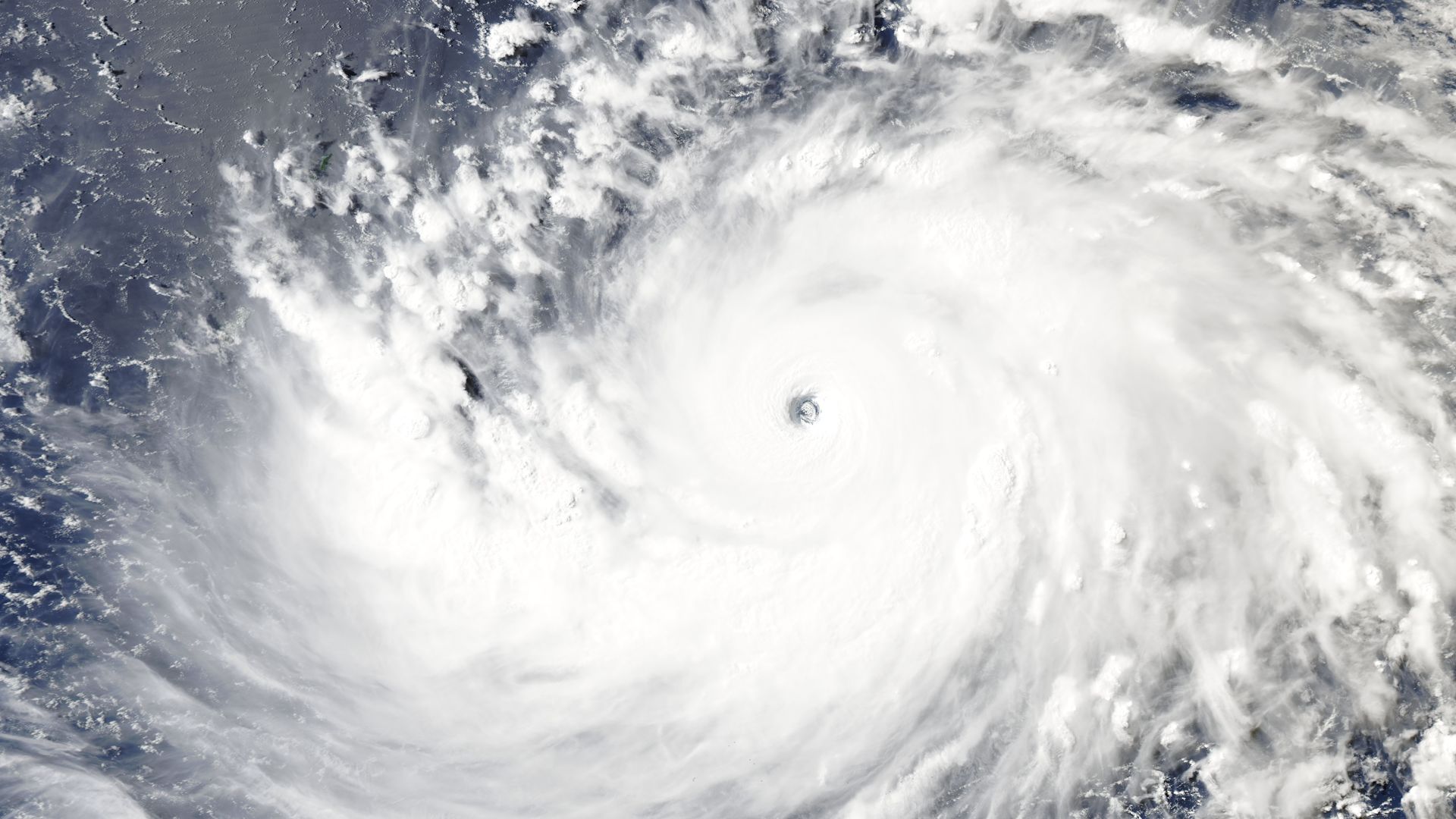
A Powerful Threat Emerges in the Western Pacific
The western Pacific Ocean is currently playing host to one of the most powerful meteorological events of 2026. Super Typhoon Bavi has rapidly intensified into a scale-topping Category 5 equivalent storm, packing maximum sustained winds of 260 km/h. According to the Joint Typhoon Warning Center (JTWC), the storm’s minimum central pressure has plummeted to 919 mb, signaling a core of extreme intensity as it moves toward the Northern Mariana Islands.
Impact Forecast for Guam and the Northern Marianas
As of Saturday afternoon, the storm continues to churn through favorable atmospheric conditions. While eyewall replacement cycles may cause temporary fluctuations in wind speed, the environment remains highly conducive to maintaining Bavi’s status as a high-end super typhoon. Residents of Guam and the Northern Mariana Islands—home to over 200,000 people—are currently on high alert. Current projections suggest the eyewall could pass directly over or near the island of Rota on Monday, bringing life-threatening storm surges, destructive winds, and torrential rainfall.
Historical Context and Global Storm Activity
Bavi marks the third Category 5 equivalent storm globally this year, following Tropical Cyclone Horacio in February and Super Typhoon Sinlaku in April. For the Northern Mariana Islands, the arrival of such a powerful system evokes memories of Super Typhoon Yutu in 2018 and Typhoon Mawar in 2023, both of which caused significant infrastructure damage. Forecasters expect Bavi to expand in physical size as it tracks westward, potentially posing a major threat to Taiwan by the latter half of the week.
Preparedness and Long-term Outlook
Emergency management officials are urging residents to complete preparations immediately. The combination of high sea-surface temperatures and low wind shear in the Philippine Sea is expected to keep Bavi at major hurricane strength for several days. As the storm grows, its wind field will likely impact a broader geographic area, necessitating close monitoring across East Asia as the system approaches more populated coastlines later this month.